Devil's Head Topaz: Hunting Gem Crystals in the Pikes Peak Pegmatites
You’re standing on a granite ridge above 9,000 feet, scanning weathered outcrops of Pikes Peak granite for the telltale sign of a pegmatite pocket: a depression in the rock where softer minerals once sat and have since eroded away. If you’re lucky, the pocket still holds crystals. If you’re very lucky, one of them is topaz.
Devil’s Head, in the Rampart Range about 25 km southwest of Castle Rock, has been producing some of Colorado’s finest topaz crystals since the 1890s. The locality is documented in USGS publications dating back to 1885 and was studied in detail by mineralogists Arthur Montgomery and Edwin Over, whose 1934 fieldwork yielded crystals acquired by the Harvard Mineralogical Museum.
Why Devil’s Head Matters
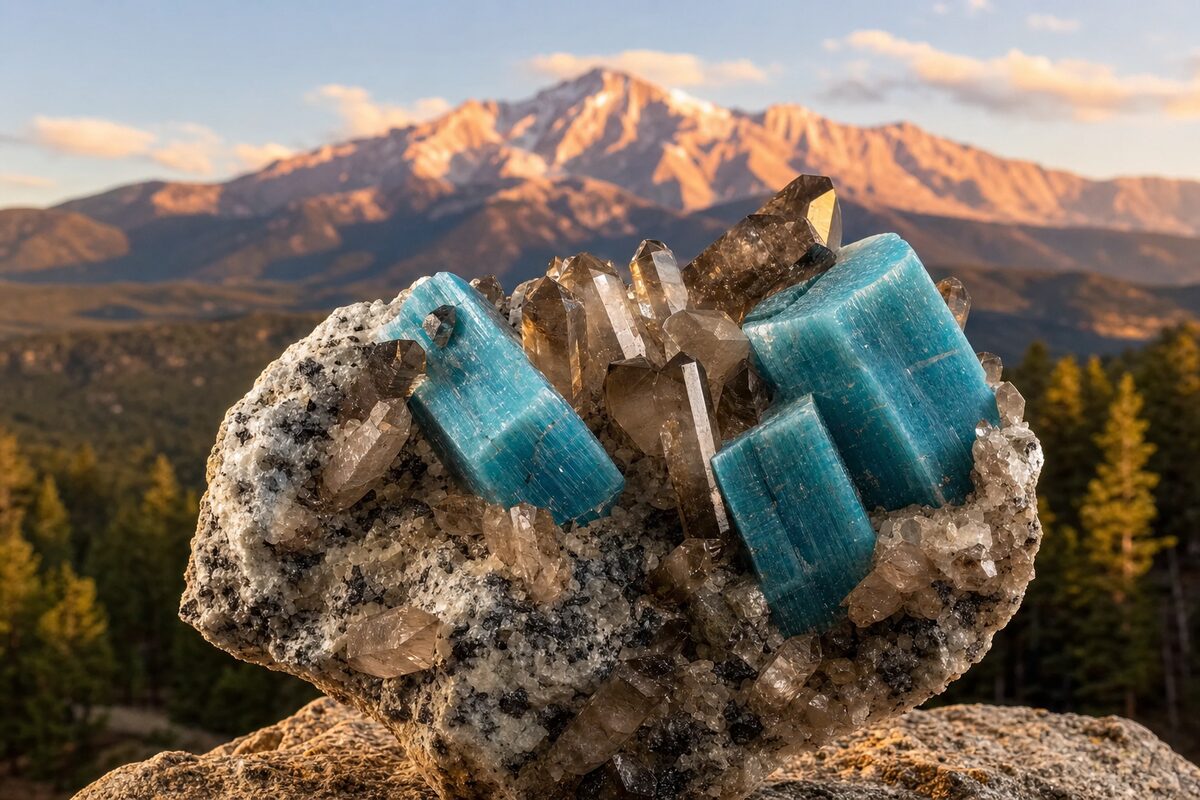
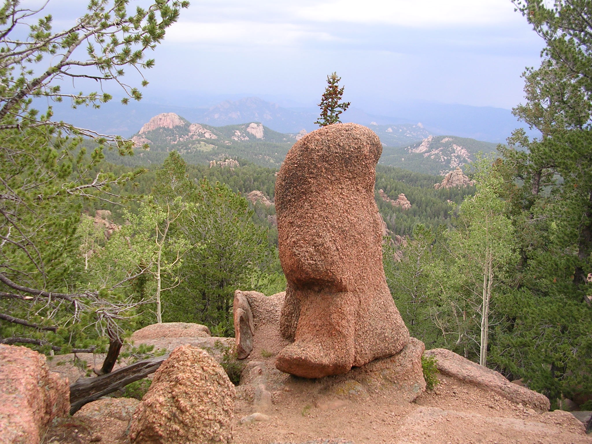
The Pikes Peak batholith is one of North America’s great pegmatite provinces. Stretching across 1,200 square miles of the Colorado Front Range, this 1.08-billion-year-old granite hosts mineral pockets that have produced world-class specimens of topaz, smoky quartz, amazonite, and goethite after siderite. Devil’s Head sits at the eastern edge of this region, and its pegmatites are unusual for their concentration of gem-quality topaz in shallow, weathered pockets accessible to field collectors.
Unlike the Lake George area to the south, where fee-dig operations like Pinnacle 5 Minerals’ Topaz Mountain Gem Mine offer controlled access to patented claims, Devil’s Head is largely on Pike National Forest land where recreational rockhounding is permitted under USFS guidelines. That makes it one of the few Colorado localities where you can legally hunt for topaz on public land without a claim or a fee.
The Geology: Pikes Peak Granite and Pegmatite Pockets
The Pikes Peak granite formed in stages. Around 1.02 billion years ago, a large magma body intruded into what is now the Front Range, cooling at depth into coarse-grained granite. Over the next 40 million years, newer pulses of magma pushed into the existing granite, creating “intrusive centers” — circular masses with concentric rings of varying composition. These centers concentrated rare elements and water along their margins.
As the magma crystallized, water and volatile components were expelled into the remaining melt. This concentrated fluorine, lithium, beryllium, and other rare elements into pockets (miarolitic cavities) along the edges of the intrusive centers. These pockets, some reaching 1.5 to 4 feet across, are where topaz and associated minerals crystallized.
At Devil’s Head specifically, the 1935 American Mineralogist paper by M.A. Peacock (with field notes by Montgomery and Over) documented topaz occurring as whole crystals and fragments in pegmatite pockets, associated with:
- Smoky quartz — often large, well-formed crystals
- Microcline (variety amazonite) — green to blue-green feldspar
- Albite — cleavelandite variety
- Muscovite — silvery mica books
- Fluorite — rare, pale purple to colorless
- Cassiterite — very rare, small brown crystals
The pockets are numerous in a zone of pegmatite roughly 3 to 5 feet deep, weathered out at the surface where collectors can find loose crystals in the granite grus.
Field Technique: Screening the Grus
Most collectors don’t find Devil’s Head topaz by splitting fresh rock. They find it by screening the decomposed granite grus that weathered out of pegmatite pockets. Topaz has a specific gravity of about 3.5 — noticeably heavier than quartz (2.65) and feldspar (2.56–2.63). When you dry-screen or water-pan the grus, topaz concentrates at the bottom of the pile.
Practical approach:
- Carry a set of stacking screens — 1/4-inch mesh to classify off the coarse material, 1/8-inch to catch crystal-sized fragments.
- Screen the grus from weathered pockets, root balls, and crevices where heavier minerals settle.
- Check the concentrates at the bottom. Topaz’s pale blue to colorless, glassy cleavage fragments will sit below the lighter quartz and feldspar.
- A quick heft test helps: if a fragment feels disproportionately heavy for its size, it’s worth a closer look.
This method works because the pockets are shallow (3 to 5 feet deep) and the grus has already weathered out at the surface. You’re sorting what nature has already broken down.
What to Look For in the Field
| Clue | Meaning | Limitation |
|---|---|---|
| Shallow depression in granite outcrop | Weathered pegmatite pocket | May be empty or collapsed |
| Loose smoky quartz crystals in grus | Pocket has eroded out nearby | Topaz may have weathered away |
| Flat, glassy cleavage fragments | Topaz or feldspar cleavage pieces | Hard to ID without crystal form |
| Blue-green amazonite fragments | Microcline variety, common associate | Topaz may be deeper in pocket |
| Graphic granite (quartz-feldspar intergrowth) | Pegmatite zone boundary | Pockets may be nearby but not in this zone |
| Radial muscovite books | Pocket lining material | Often the last thing before the pocket interior eroded |
Topaz from Devil’s Head is typically pale blue to colorless, sometimes with a faint sherry tint. Crystals are prismatic with pyramidal terminations, and the largest documented specimens reach several centimeters. Unlike topaz from the Tarryall region to the south, Devil’s Head crystals tend to be shorter and stubbier.
Getting There
The Devil’s Head area is accessed via Rampart Range Road in Pike National Forest:
- From Sedalia: Take Highway 67 west approximately 10 miles to the junction with Rampart Range Road.
- Turn south (left) onto Rampart Range Road and drive about 8.5 miles to the Devil’s Head Trailhead.
- Parking is available at the trailhead or at the overflow area at the junction of Forest Service Road 300.
The Devil’s Head Lookout Tower (elevation 9,748 feet) is reached via the Devil’s Head Trail (#611), a 1.4-mile hike with 865 feet of elevation gain. The tower is listed on the National Register of Historic Places and has been in continuous use since 1912 — it’s the last full-time fire lookout in Colorado.
For rockhounding, the pegmatite zones are scattered across the Rampart Range in this area, not limited to the trail corridor. Forest Service Road 300 and other spur roads access additional outcrop areas. A high-clearance vehicle is helpful but not strictly required in summer.
Access, Rules, and Legal Reality
Devil’s Head is on Pike National Forest land managed by the Pike-San Isabel National Forests & Cimarron and Comanche National Grasslands (PSICC).
Recreational rockhounding on USFS land
USFS policy allows collection of small amounts of common, widespread minerals (quartz, topaz, feldspar) for noncommercial personal use without a permit. Key rules:
- Hand tools only — picks, shovels, hammers. No mechanized equipment.
- Personal use — no commercial sale of collected material.
- Small quantities — generally interpreted as reasonable personal collecting amounts.
- No significant surface disturbance — fill in any holes, don’t undercut slopes, don’t damage live trees or riparian areas.
- Stay off active mining claims — check BLM MLRS for current claim status before digging. Collecting on someone’s unpatented claim without permission is trespass and mineral theft.
Active claims in the area
The Devils Head Pegmatite District has a history of feldspar and quartz mining claims. Before digging, verify current claim status on BLM MLRS. Recreational collecting on unclaimed national forest land is permitted; collecting on an active claim requires the claim holder’s permission.
Seasonal access
Rampart Range Road is generally passable May through October. Winter access requires snowmobile or snowshoe. Check current road conditions with the PSICC ranger district office before heading out.
Common Mistakes
Mistaking microcline for topaz. Both can be colorless to pale and glassy. Topaz has perfect basal cleavage (one direction), while microcline has two cleavage directions at near-90 degrees. Hardness helps too: topaz is 8, microcline is 6.
Assuming all pockets are productive. Most pegmatite pockets at Devil’s Head are either empty, collapsed, or filled with clay and quartz fragments. Finding a crystal-bearing pocket takes patience and a lot of scanning.
Digging without checking claims. The area has a mining history. Some zones may be under active unpatented claims. Verify on BLM MLRS before you dig.
Ignoring weather and altitude. Devil’s Head is above 9,000 feet. Afternoon thunderstorms are common in summer, and lightning exposure on exposed granite ridges is a real danger. Be off the ridges by noon during monsoon season (July through early September).
Responsible Workflow
- Research before you go. Check BLM MLRS for active claims in the area. Check USFS current road conditions.
- Park at designated trailheads. Don’t create new pull-offs or drive off established roads.
- Scan, don’t dig first. Most loose crystals are found in grus and weathered pockets at the surface. Look before you break rock.
- Use hand tools only. Pick, shovel, rock hammer. No mechanized equipment on USFS land without a permit.
- Fill your holes. Leave the area looking like you weren’t there.
- Keep what you find for personal collection. Don’t sell commercially without verifying you’re on unclaimed land and following USFS commercial use rules.
- Combine it with the lookout hike. The Devil’s Head Trail to the fire lookout is a rewarding hike even if you don’t find crystals. The trail gives you views of the Rampart Range and Pikes Peak to the south.
Quick Answers: Devil’s Head Topaz FAQ
Do you need a permit to rockhound at Devil’s Head? No permit is needed for personal-use collecting of common minerals (quartz, topaz, feldspar) on unclaimed Pike National Forest land. Hand tools only — no mechanized equipment.
What tools are allowed at Devil’s Head? Hand tools only: picks, shovels, rock hammers, and screens. No mechanized equipment (power tools, dredges, or excavators) without a USFS permit.
What is the best time of year to visit? May through October, when Rampart Range Road is passable. July through early September brings afternoon thunderstorms — be off exposed ridges by noon.
How do I check for active mining claims before digging? Search the BLM MLRS at mlrs.blm.gov by township and range, or use a tool like MyLandMatters for a quick overview. Collecting on someone’s unpatented claim without permission is trespass and mineral theft.
Can I sell topaz I find at Devil’s Head? Personal-use collecting is allowed; commercial sale requires verifying you’re on unclaimed land and following USFS commercial use rules. If you’re on an active claim, you need the claim holder’s permission for any removal.
Sources and Further Reading
- USGS Bulletin 20 — Contributions to the Mineralogy of the Rocky Mountains (Cross & Hillebrand, 1885)
- USFS — Devil’s Head Lookout Tower (Pike-San Isabel National Forests, updated April 2025)
- American Mineralogist (1935) — Topaz from Devil’s Head, Colorado (Peacock, with field notes by Montgomery and Over)
- Wikipedia — Mineralogy of the Pikes Peak Region
- Western Mining History — Devils Head Pegmatite District (MRDS data)
Related: Read our Pikes Peak Pegmatites 101 and Amazonite at Pikes Peak guides for more on the Pikes Peak granite mineral province. For claim research tools, see our Mining Guide and Claims pages.